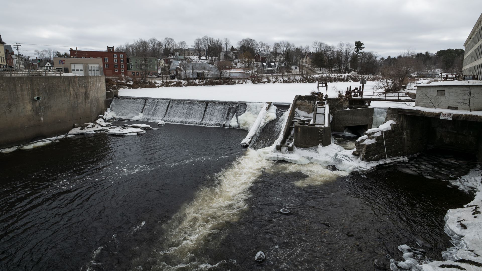
The terms dictating the vast influence of many Maine hydroelectric dams were last drawn up a generation ago, often by the same paper companies that first harnessed the rivers’ power for their mills downstream.
In the decades since, the dams have swapped hands among a slew of corporate owners — permanently altering the watersheds and landscapes they occupy. While fishery research and concepts of tribal sovereignty progressed, the dams, for the most part, stayed grounded in the past.
But in the past few years, the regulatory floodgates opened, releasing a deluge of legal filings and environmental impact studies drafted by the dam owners and their army of attorneys and contractors.
Those living in the dams’ shadows have a brief window to sort through the bureaucratic debris and make their own recommendations about how the dams should be operated, or in some cases, removed.
With a number of federal licenses set to expire and smaller, state-regulated dams requiring immediate action, Maine has a unique opportunity to influence the state’s network of dams.
Each dam’s fate has a cascading effect upstream and downstream. As debates play out across the state, the Wabanaki Nations, local communities, and environmental nonprofits are trying their best to leverage their influence to decide the dams’ futures.
‘Real actionable things’
Like most Maine hydroelectric dams, the towering Ripogenus Dam on the West Branch of the Penobscot River is owned and operated by a subsidiary of Brookfield Renewable, which itself is an offshoot of the Toronto-based investment firm with $925 billion worth of assets in real estate, energy and infrastructure projects across the globe.
The 83-foot tall Ripogenus Dam creates the namesake lake behind it and swells up a series of lakes and ponds beyond that. The dam’s floodgates control the flow of water to a 37.5 megawatt powerhouse a few hundred yards downstream, providing the final say on West Branch’s current down towards Millinocket and a massive complex of other hydroelectric dams.
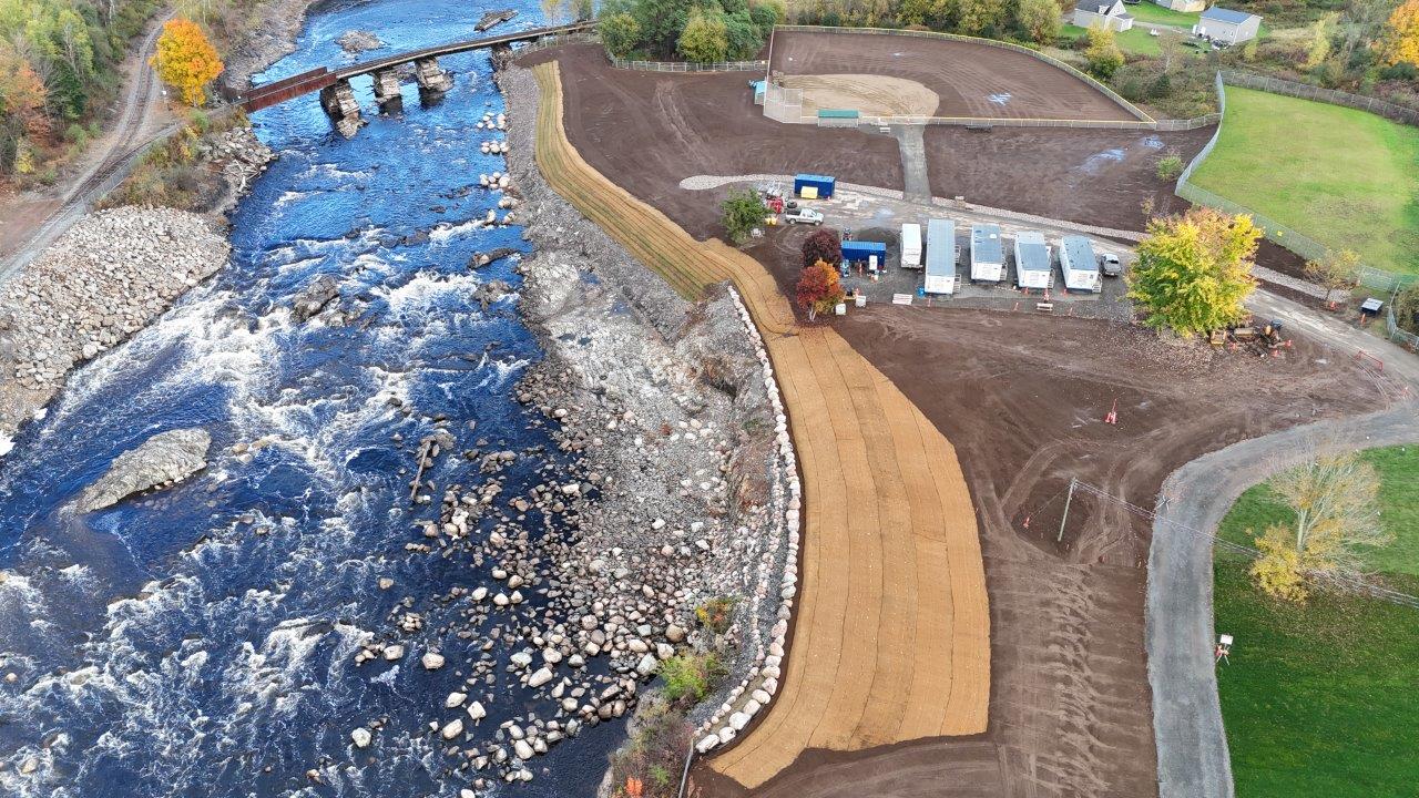
Built between 1915 and 1916 by the Great Northern Paper Company, the dam and its counterparts below once sent electricity buzzing to the company’s paper mill in Millinocket, the largest mill of its kind in its heyday.
But like most of the West Branch dams, Ripogenus lacks any means for fish passage. Its massive walls are the end of the line for any landlocked Atlantic salmon or trout species swimming in between Ripogenus and the next impediment, which lies 25 miles downstream at the Penobscot Mills Project near Millinocket, a complex of four hydroelectric developments.
This fragmented river system is a shadow of its former self, according to Dan McCaw, fisheries director for the Penobscot Nation. Before European settlers first dammed the West Branch in the 19th century, it was one of the most beautiful sections of river on the East Coast, McCaw said, with whitewater whipping down the valley where stagnant impoundments now sit.
“It was the home of the Atlantic salmon,” McCaw said. “The reason why Atlantic salmon did so well in the Penobscot River is because of the West Branch.”
Today, McCaw and others claim that the conditions on the West Branch are especially dismal. They point to the low water levels at which Brookfield has kept the lakes and river in recent years, harnessing the water through Ripogenus and the Penobscot Mills project at the expense of aquatic habitat and recreation opportunities.
As Ripogenus goes through relicensing, McCaw, recreationists, camp owners and groups like Trout Unlimited are taking aim at Brookfield through federal filings, demanding consistent water levels above the dams and screens on turbines to keep fish from getting chewed up.
A spokesperson for Brookfield Renewable said that it is conducting studies at Ripogenus, “looking at various operating scenarios for ecological protection.”
Whereas other dam debates in Maine may focus on removal, like downstate on the Kennebec River, McCaw and others are focused on these immediate measures.
“We keep fish out of turbines. We set up a natural flow regime. We stabilize the lake levels with the impoundment levels behind it, and we put water back into the Penobscot River,” said McCaw. “Those are some real actionable things that we can do.”
The simultaneous relicensing of the Penobscot Mills project downstream means that these demands can be spread out across the Penobscot River watershed — affecting greater change on dam operations if the Federal Energy Regulatory Commission agrees with the recommendations.
“The licensing of Ripogenus and Penobscot Mills, that whole constellation of projects, it’s a great opportunity to be thinking about a bigger river system,” said Andrew Fisk, northeast regional director for the environmental nonprofit American Rivers. “I think we’re seeing good conversation about what kind of infrastructure can be improved, expanded or added as part of that relicensing.”
Cohesion on the border
An international coalition of Wabanaki and state and federal officials is already seeing the positive impacts of a coordinated, river-wide approach to dams and fish passage up by the U.S.-Canada border.
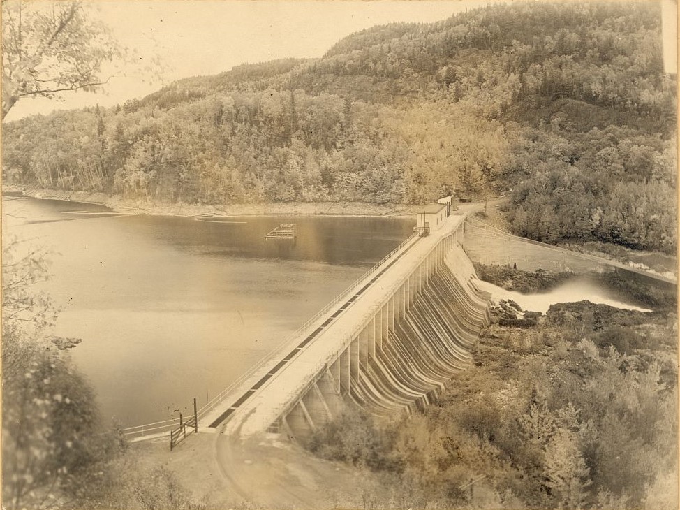
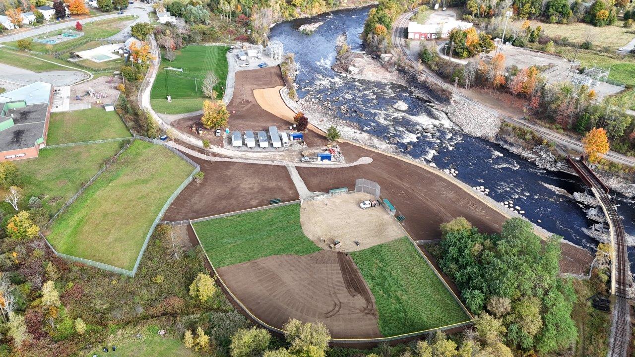
Over the past two years, fisheries agencies have been working with the Passamaquoddy Nation at Indian Township and the Peskotomuhkati Nation at Skutik in New Brunswick to remove the Milltown Dam — the last barrier between the St. Croix River, also known as the Schoodic River, and Passamaquoddy Bay.
Deconstruction work by the dam’s owner, New Brunswick Power, wrapped up earlier this year, opening up 10 miles of riverine habitat. Just a few months later, the river welcomed a historic return of alewives more than three times larger than the previous year’s run, jumping from 200,000 to 700,000, according to Sean Ledwin, a sea-run fisheries official at the Maine Department of Marine Resources.
The coalition’s momentum is barrelling forward with plans to install high-tech fish passages at the dams further upstream. In collaboration with the dams’ owner, Woodland Pulp, the Passamaquoddy Tribe at Sipayik and Maine DMR plan to complete fish passages at the Woodland Dam and Great Falls Dam above it over the next few years. With effective passage, the river could one day host the largest alewife run in the United States, according to Ledwin.
Ralph Dana, a Passamaquoddy citizen and the aquatic restoration coordinator for the Sipayik tribal government, sees this as a significant shift. With fish passage, the depleted Schoodic River system and Passamaquoddy Bay may support the river herring populations required to feed other fish up the food chain and restore both ecosystems.
“It’s going to bring in more prey, it’s going to bring in more predators,” Dana told The Maine Monitor. “The most exciting part, you know, is maybe at some point that will have an impact on rebounding the collapsed ground fishery out here in the bay,” he said, referring to species like Atlantic pollock that are found near the bottom of the ocean floor.
“My namesake is: ‘people who spear pollock,’” Dana said, referring to an English translation of the name “Passamaquoddy.”
“Good luck doing that in 2024.”
Dana wasn’t always as enthusiastic. He remembers the frustration he felt when he first heard the proposal to build a fish elevator at Woodland Dam, fearing how ineffectively it would pass fish downstream compared to outright removal.
Yet he acknowledged that while the paper mill is still there, relying on the dam to power an economic engine for the region, removal would be near-impossible. Instead, he could work with the fish passage and tweak its design to better support fish heading downstream.
“We want these (rivers) to be free flowing, unimpeded, unmanipulated by man the way it was back then. And our belief is, if we can do that, that’s when you get these species back,” Dana said. But “some of those things, realistically, you’re just not going to be able to accomplish. What seemed to make more sense … was dramatically improving fish passage upstream and downstream at that site.”
While he still hopes for removal, the overall restoration of fish populations is taking priority. Through the process of collaborative projects like these fish passages, he said that more and more groups, governments and companies could find common ground, leading to a groundswell of support down the line.
“That’s where we really make some gains,” Dana said.
Lessons from Dover-Foxcroft
That level of cohesion is hard to come by in the debates over centuries-old dams smack in the middle of communities, however. Dover-Foxcroft saw that earlier this year when residents voted overwhelmingly to maintain the dam at the center of town, despite the larger estimated costs to do so and its impacts on flooding and fish migration.
Now the town is flipping through multi-million-dollar bond options to maintain the dam to FERC standards and append fish passages, whereas removal would have been eligible for numerous grants.
Dover-Foxcroft select board chair Tom Lizotte sees that vote as a byproduct of the mistrust between the town and many of its residents, who were suspicious of the removal proposals and their connection to environmental groups, as well as the dam’s prominence in town.
“The more high profile the dam, as it is for Dover-Foxcroft and Camden,” he said, “the harder it is for people to wrap their heads around the need for change.”
The town’s approach could be a lesson for other Maine communities grappling with aging dams, like Camden and its dam at the heart of downtown, according to Lizotte. If committing to maintenance over removal, he said, be prepared for a hefty price tag.
Conflict on the Megunticook
For the past five years, Camden officials and residents have been agonizing over what to do with the 200-year-old dam that sends a pristine sheet of whitewater cascading into the harbor at the center of town.
The town-owned Montgomery Dam is the first blockage on the Megunticook River and impassable to fish in its current state. It’s part of a thornier network of seven private and town-owned dams that span the steep 3.5-mile-long river up to its outlet on Megunticook Lake, all with varying degrees of flood attenuation and risk in the event of their failure.
As the town prepares for the consequences of sea-level rise on Camden Harbor and climate change-fueled downpours on Megunticook River above, the Montgomery Dam is one of the first on the town’s list of infrastructure projects.
What it will decide to do with it is anyone’s guess.
Engineering consultants have been hired, an independent committee assembled and technical reports published, yet the town isn’t any closer to a middle ground between those in favor of dam removal and those who want to keep it, not even on the findings of a 267-page report published by two independent engineering firms in 2021.
In it, the authors concluded that removing the Montgomery Dam would substantially reduce flooding by reducing the river’s elevation and restoring its natural floodplain, ultimately recommending its removal. Doing so would open up the river to fish passage, too, and allow for the return of river herring that the authors say may have occupied the Megunticook centuries ago.
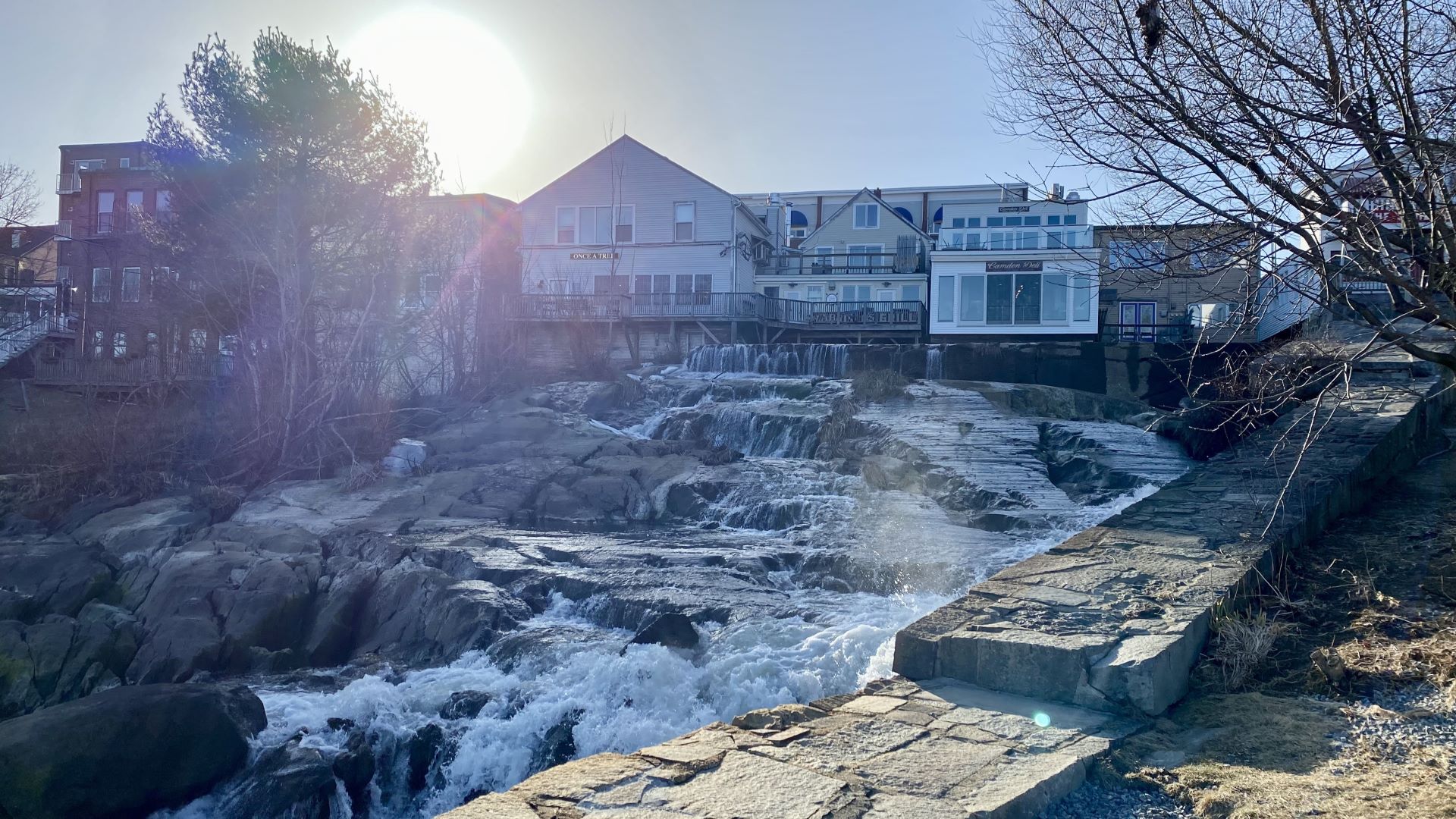
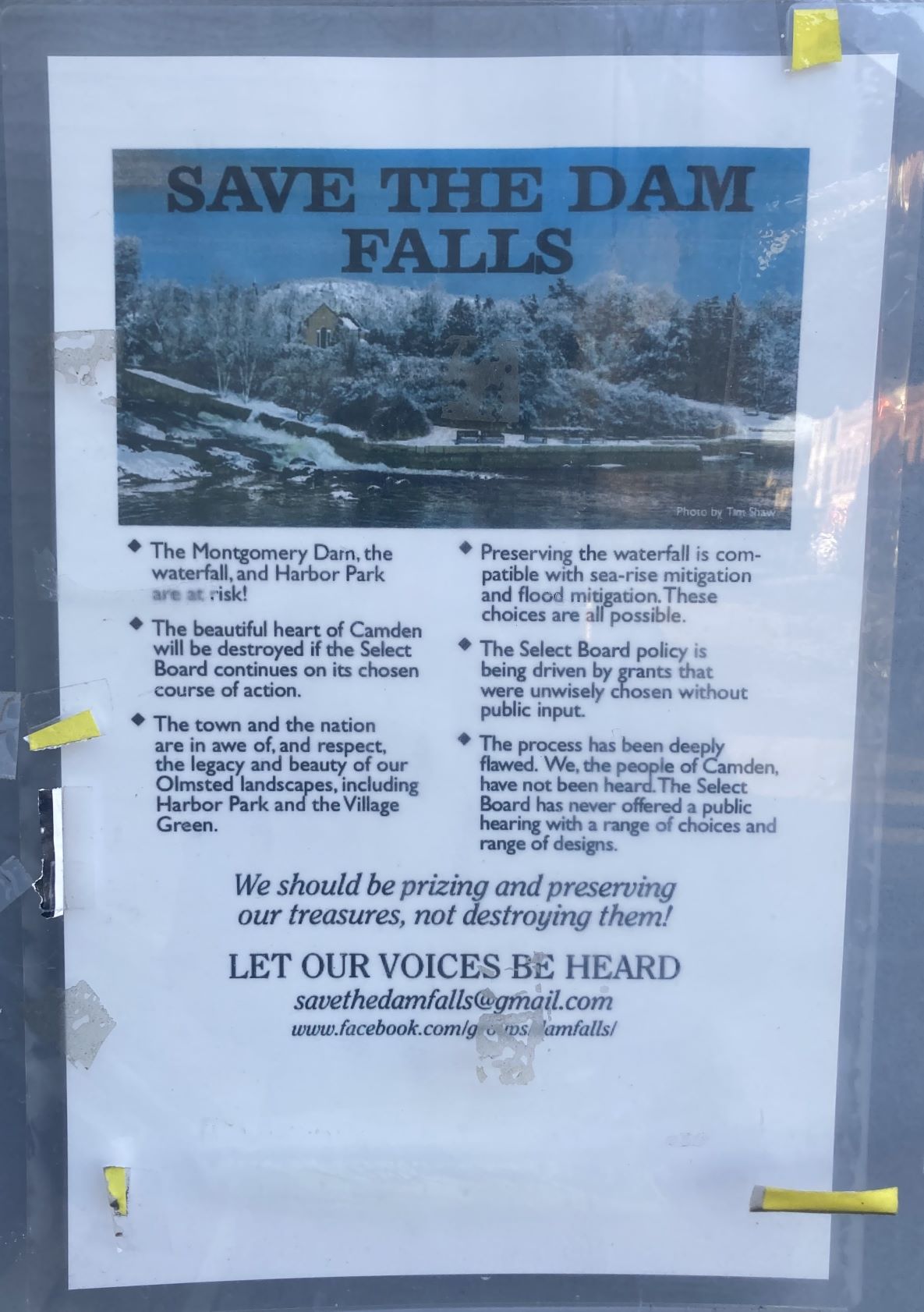
Ken Gross, who sits on the Camden select board and is a member of the Save the Dam Falls Committee, does not doubt the climate change projections on flooding and sea-level rise that the study relied on. He does, however, doubt that Montgomery Dam significantly attenuates flooding and that the Megunticook River was ever home to alewife.
He and other dam proponents instead claim that the flooding upstream above Main Street will occur whether the dam is there or not, and that there is scant historical evidence of river herring on the Megunticook compared to other nearby rivers, whose residents described herring runs in more detail.
They contend that the town has to weigh a number of factors when deciding on the dam, and pegging a multi-million-dollar project on an unknown outcome, like the alewife’s return, is too risky and would require removing other dams, including the one a few hundred feet upstream.
“There are social, aesthetic and historical, emotional values that need to be taken into account,” Gross told The Monitor. “If we’re going to sacrifice such a treasure at the head of the harbor, there must be something enormously positive about this loss. And to tell you the truth, I can’t find it.”
Removal proponents like Gross’s fellow select board member Alison McKellar, however, see removal and its calculated flooding reduction as a worthwhile trade-off. The dam and surrounding Harbor Park seawall have been overtopped by numerous high tides and floods in recent years, with water entering behind both concrete structures and degrading them.
The town-owned dams have cost hundreds of thousands of dollars to maintain, and they’re only getting worse. Addressing Montgomery with an eye for thinking about how to manage or remove other non-consequential dams upstream makes the most sense to McKellar.
Starting with the removal of Montgomery Dam, a watershed-wide approach could also leverage crucial grant funding, McKellar said.
“It checks off every box in terms of extreme rain events, storm surge events and then the habitat restoration aspect of it,” McKellar said. “In just this one site, you have so many of these issues going on.”
Recently, more realistic renderings of what Camden and the Megunticook River would look like without the Montgomery Dam have been shared with the public, giving residents the opportunity to visualize the change that Lizotte said was so abstract for Dover-Foxcroft.
A town vote on dam removal was set to take place this month but has been postponed to next June. In the meantime, the Megunticook River Citizens Advisory Committee, the independent committee assembled by the town, is expected to release its own recommendations.
Camden could either follow in Dover-Foxcroft’s footsteps or be one of the few Maine communities to remove a prominent dam in the center of town.
More recent examples of municipal dam removal have occurred on the outskirts of communities, like the dam Farmington removed on the Sandy River. Whereas federally regulated, active hydroelectric dams are only seriously considered for removal every few decades, Maine municipalities are able to manage their dams more dynamically — keeping up with changing technologies, climate science, policies and sentiments.
Although it’s this autonomy that has fiercely divided Dover-Foxcroft and Camden, it’s a situation that people confronted with the federal regulatory process would snatch up in a second.
While the towns have the flexibility to change their minds, FERC decisions on hydroelectric dams — and their environmental consequences — stand for decades.
“It’s a massive undertaking,” said McCaw, the Penobscot Nation fisheries director, “and will have ramifications past my lifetime.”


