In the past week, the #mewx (Maine Weather) hashtag on Twitter has been a particularly wide-ranging February grab-bag of that old saying, “if you don’t like the weather, wait five minutes.” Today, some climate change context for this.
Last weekend, some folks saw spring plant growth in their yards under bright, mild sunshine, and Portland notched a record high for Feb. 10, at 54 degrees Fahrenheit. The Press Herald had exemplary climate-linked coverage of people getting out in the warm day. (The previous record, set in 2023, was 52 degrees.)
On other days and in other places, it’s snowed hard — or thawed hard, or flooded, or sleeted or iced over. Wind gusts topped 50 mph in several places on a frigid Valentine’s Day, according to the National Weather Service.
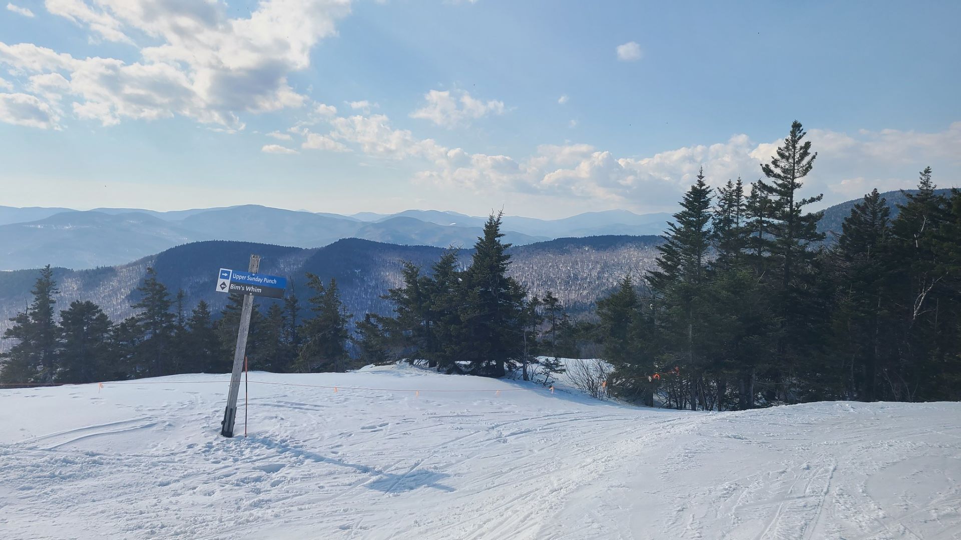
Southern, Central and Western Maine are under a winter weather advisory through Friday morning (for a storm system known as an “Alberta clipper”), with temperatures in the teens. According to meteorologist Christian Bridges of WGME, it comes after the “warmest start to February on record in Maine.”
The NWS also reports that it hasn’t been below zero in Portland yet this winter, which isn’t unheard of. But broadly, data from the Maine Climate Office at the University of Maine shows that Maine’s average winter low is rising.
Last year’s winter, overall, was 7.7 degrees Fahrenheit warmer than the 20th-century baseline on average, ranking third behind 2002 (+7.8 degrees) and 2016 (+8.8 degrees). You can see exactly where recent days fall within Maine temperature norms and past records here, e.g., for Augusta.
“Climate is what you expect, weather is what you get,” as some scientists have put it to me in the past. Maine has always seen a wide range of day-to-day conditions throughout its seasons.
But if we zoom out and look at the trends among those anomalies and deviations, we see a clear pattern of warming, especially in winter, especially in the Northeast, according to the latest National Climate Assessment and many other sources.
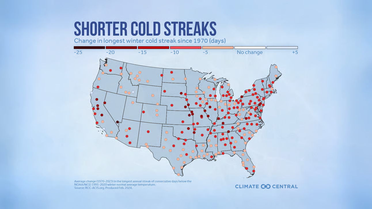
Another interesting metric of this change: shorter cold snaps, measured by a new analysis from the nonprofit Climate Central. Portland’s cold streaks (defined as the most consecutive winter days with temperatures below the past 30 years’ average) have gotten 10 days shorter since 1970, they say, per federal data.
Climate Central lists myriad impacts from these shrinking cold spells, including trouble for fruit and nut trees that need winter cold to thrive in spring and summer, and drinking water disruption from a declining snowpack, especially in the West. They also note impacts to lake ice and other conditions key to winter recreation and to controlling disease-carrying pests like ticks and mosquitoes.
Climate Central also reports that the mild weather in southern and coastal Maine last weekend was made 1.5 to 2 times more likely due to human-caused climate change. This tool, the Climate Shift Index, uses computer models to compare today’s carbon-surged world with a hypothetical atmosphere without historical greenhouse gas emissions.
Science tells us that with a warming world comes greater volatility and more extremes — higher carbon levels than at any other time in history provide more fuel to energize and stir up the weather system.
It can be easy to get used to a new normal for this kind of chaos in a seasonal, stormy place like Maine.
This makes it all the more important to collect ongoing local observations, and to refer back to that big-picture context for clear evidence of climate change.