
Early this summer, Steve DiMillo was standing in the parking lot of the floating restaurant in downtown Portland that bears his family name, having a conversation with Bill Needleman, the waterfront coordinator for the city of Portland. DiMillo pointed to the lowest corner of the lot, where the sea washes in during storms and King Tides.
“I said, ‘I really don’t see a whole lot of change,’” DiMillo recalled. “He politely disagreed. He said, ‘I’ll show you where it’s higher.’” DiMillo has had the same conversations with his brother, who runs the marina side of the family business and who also sees the change: the tides lapping higher and higher on the pylons, the storm surges that flood over and into parking lots.
The DiMillo name has been synonymous with the Portland waterfront for decades. Steve’s father, Tony, bought their property in 1978; two years later the hulking ship that would become Maine’s most famous floating restaurant, DiMillo’s on the Water, was tugged into its berth in downtown Portland, having served in previous lives as a car ferry, housing for a youth center art colony and yacht club clubhouse.
Apart from the occasional maintenance, it has remained there for the better part of four decades, serving as the site of countless weddings, banquets and first lobster dinners.
Over the decades, Steve DeMillo has watched as the waterfront morphed. He remembers the rail line chugging down Commercial Street and its cables that ran from the rail cars to giant coolers that brought in slabs of frozen beef. He remembers a new restaurant, the Holy Mackerel, that was devastated by flooding in the Blizzard of 1978 and later replaced by the condominiums on Chandler’s Wharf.
He watched as the effects of storms and flooding swept over the waterfront. There were days when you couldn’t drive to the next pier because it was underwater or sinkholes had sprouted up in the restaurant’s parking lot. He still found it hard to believe that sea level rise is really happening or that it’s any worse than it was years ago.
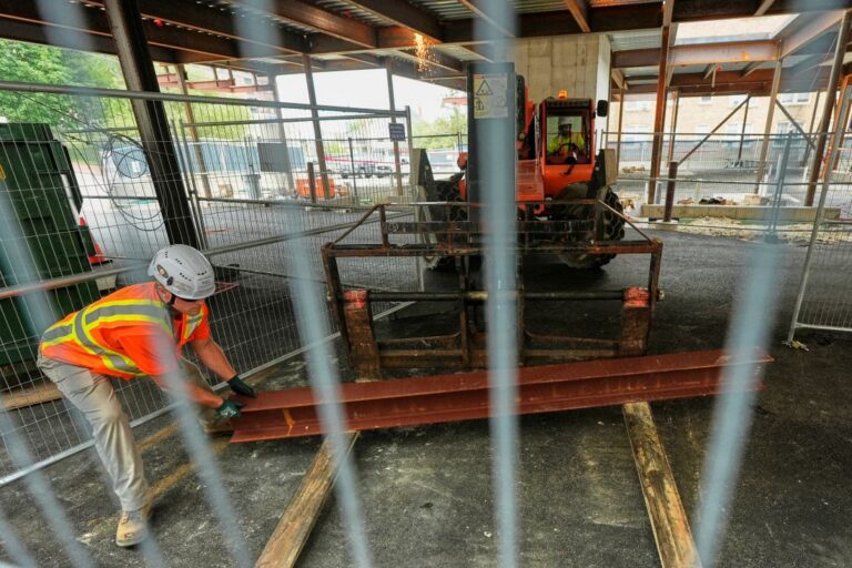
“Most of us just deal with the deterioration of wharves and piers and pilings,” said DiMillo. “That just comes with the weather and the elements down here.”
Therein lies one of the central problems of getting humans to act on climate change, and sea level rise in particular. Storms come and then they pass. Tides rise and then they recede. Roads wash out and then they’re rebuilt.
Even for those who spend their days on or near the ocean, it can be hard to imagine that the places we love, where we’ve been living, working and playing for years or even generations, might be at risk of being swallowed by the sea.
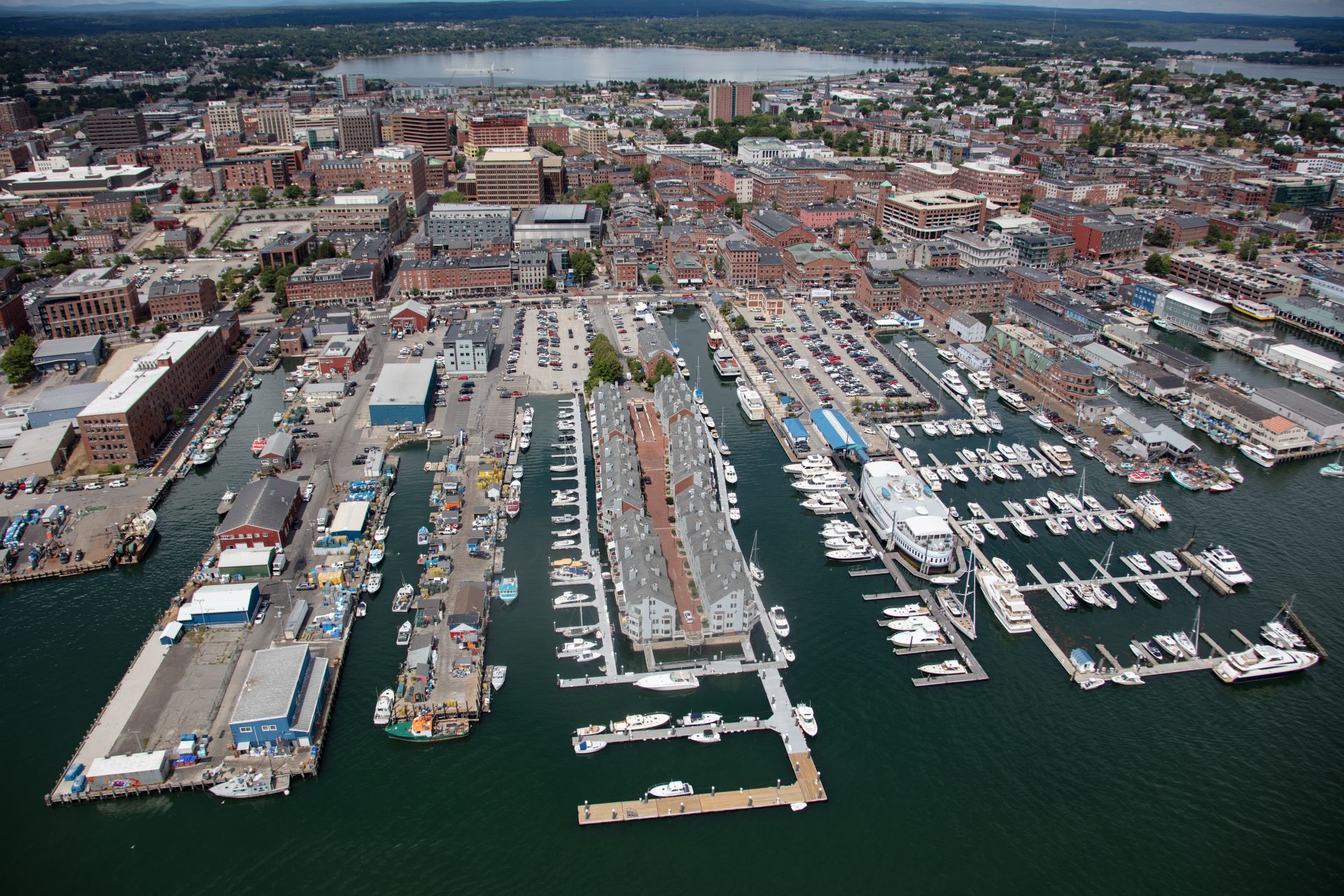
But many of those places are at risk, even if we cannot always see it for ourselves. The National Oceanic and Atmospheric Administration has predicted that by 2100, a storm surge at high tide could put much of Commercial Street (including all of DiMillo’s parking lot) under six to 10 feet of water. At that point, even low-lying areas of the city, including the Bayside neighborhood near Back Cove, would be under a foot of water at normal high tide.
Despite those predictions, development along Commercial Street has exploded in recent years. “I look at that and my poor sea level rise-addled mind says you’ve got to be kidding me,” said Charles Colgan. He’s an economist who retired from the University of Southern Maine’s Muskie School of Public Service several years ago and now helps communities around the world assess and quantify their vulnerability to sea level rise.
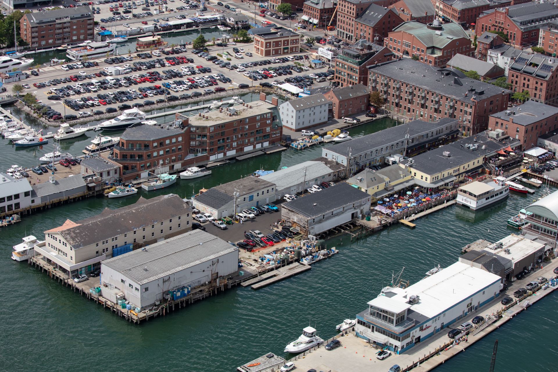
“First of all,” Colgan continued, “Commercial Street is completely artificial. The actual shoreline — the natural shoreline — is up on Fore Street. Commercial Street was constructed.”
Most of the buildings on the northern side of Commercial Street aren’t technically in the flood zone, which means they aren’t required to have flood insurance, said Colgan (although many may have chosen to).
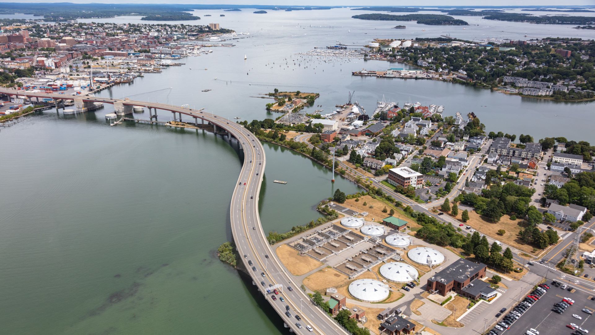
The Federal Emergency Management Agency did come to the city a few years ago. It drew more accurate flood maps that account for sea level rise. It’s possible those maps will include more properties along the waterfront and even some communities several miles inland that could be threatened by overflowing creeks and brooks. The city’s sustainability coordinator, Troy Moon, said he anticipated adopting the new maps by the spring of 2023.
The Greater Portland Council of Governments, which includes communities from Cape Elizabeth to Bridgton, is also in the midst of a two-year project. This project aims to draw in those whose livelihoods are affected by coastal flooding, with the goal of helping local leaders plan for nature-based solutions to the impacts of bigger storms and rising seas.
That could mean anything from rain gardens (places designed to collect water and let it absorb into the soil) to restoring beach dunes and salt marshes, depending on what’s appropriate.
Portland and South Portland have also teamed up on a climate action plan, adopted in 2020, that covers everything from changing ordinances to support more sustainable and resilient development to advocating for phasing out new natural gas pipelines.
The city also recently hired a consultant to help develop zoning aimed at guiding development in areas at risk from sea level rise and storm surge flooding, said Moon. That could mean, for instance, allowing developers to build taller buildings if they need that height to deal with impacts of sea level rise.
In many ways, Portland is better situated than many coastal communities, particularly those that have fewer resources and are more dependent on tourism, like the beach towns to the south.
“Luckily, a lot of our vital infrastructure is not right on the waterfront,’’ said Moon. While “water is certainly impacting the piers, it doesn’t spill over onto Commercial Street … There’s a pretty long window here of time when there’s still a lot of opportunity to use valuable waterfront property,” according to Moon.
That window is already narrowing as storms intensify. Three feet of sea level rise would overwhelm nearly every wharf and pier along Commercial Street, as well as roads and buildings in Bayside and Back Cove, according to the Island Institute.
Residents remember a storm in late September 2015, when four inches of rain coupled with an 11.5-foot high tide left parts of the Bayside neighborhood under five feet of water, with cars submerged and basements flooded.
Still, Moon is optimistic and sees an opportunity to encourage waterfront uses that can adapt more easily to rising seas, such as fishing and other maritime activities. He added, “we just want to be nimble and make sure we’re taking advantage of opportunities to keep Portland thriving economically as well as culturally.”