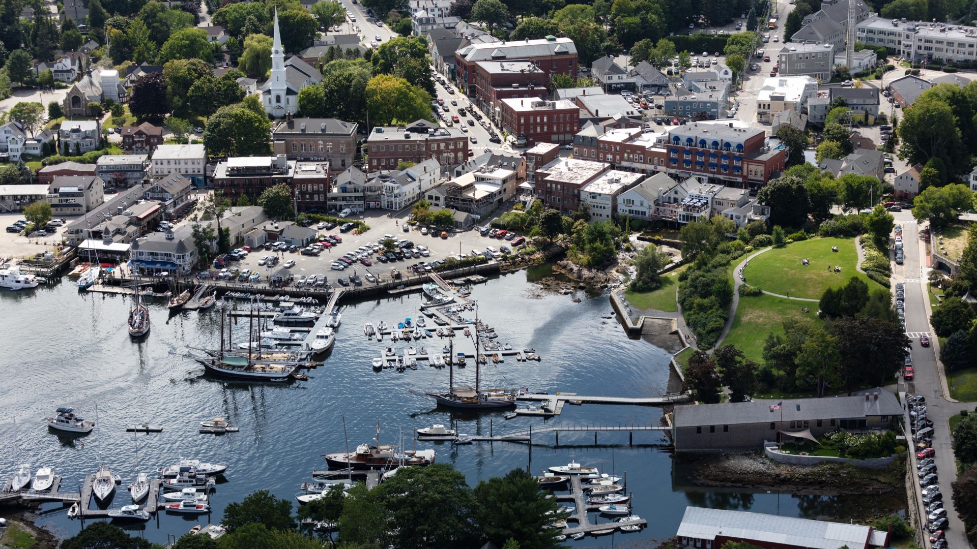
As Congress looks to reauthorize the chronically-underfunded National Flood Insurance Program next week, much of Maine is operating with flood maps that are decades old, if they exist at all. And the new maps that are being drawn are not designed for a changing climate. They don’t account for sea level rise or the kind of extreme rainfall events that are becoming increasingly common in Maine and elsewhere around the country.
“The flood zone is wrong,” Charlie Colgan, a researcher and former Maine State Economist and Director of Natural Resource and Economic Policy who has spent years helping communities plan for the effects of sea level rise, said flatly. Maps aren’t designed to account for sea level rise or the kind of heavy rainfall that Maine and other states are experiencing more and more each year.
“Climate has changed so much that the maps aren’t going to keep up for some time,” W. Craig Fugate, FEMA administrator under President Barack Obama, acknowledged in a recent interview with the Washington Post.
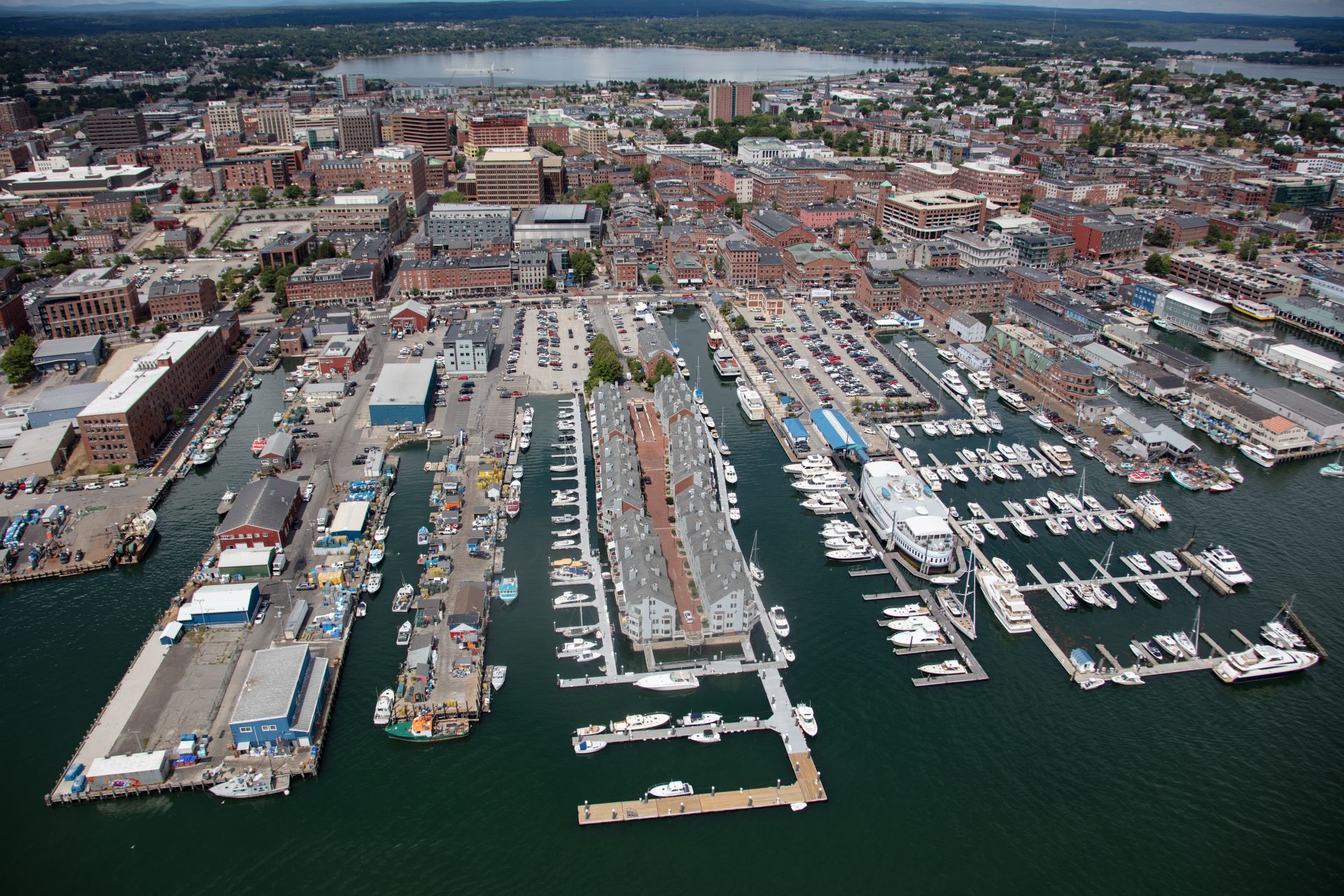
Take the Portland waterfront, said Colgan. Commercial Street, which has seen a development boom in recent decades, is artificial, built on fill, but the landward of the street is not considered by FEMA to be at high risk for flooding. That’s despite the fact that the seaward side is now periodically underwater even on sunny, stormless days, like an afternoon in November 2021 when a King Tide brought the ocean up and into wharves and parking lots on the waterfront.
In the past, water overtopping like that might have happened a handful of times each year. By 2030, it could happen once a month, Gayle Bowness, Manager of the Municipal Climate Action Program with Portland’s Gulf of Maine Research Institute, told PBS, even without the compounding effects of storm surge and intense rainfall. The city has listed Commercial Street as one of the areas that is “particularly vulnerable” to sea level rise and storm surge, with models suggesting that, by 2050, a single 100-year storm would result in $16 million in damages to buildings in the area.
Outdated, inaccurate or missing maps may mean property owners aren’t aware of flood risk. “You see a lot of gaps,” said Georgina Sanchez, a researcher with North Carolina State University. Sanchez and her team recently devised a new method for determining flood risk that takes into account actual reports of flood damage, which is not accounted for in FEMA’s approach.
Sanchez and her researchers found that 85% of all reported flood damage came either from outside areas designated by FEMA as high risk or areas that weren’t mapped at all. FEMA representatives have reported that between 2015 and 2019 more than 40% of flood insurance claims came from homeowners outside high-risk areas.
“FEMA’s designation of high-risk flood zones can mislead communities about their actual risk and encourage development that borders the floodplain, resulting in greater damages when flood events exceed design levels,” Sanchez told a reporter for the university last month.
The Agency did update its methodology for insurance pricing last year to incorporate a greater set of risks, including flooding from heavy rainfall, which it says will better reflect a property’s risk. But the maps are still the primary tool used by regulators for planning and conveying flood risk.
FEMA has been on a recent push to update maps in Maine, a process that takes at least five years, and can take much longer if communities challenge the maps, said Sue Baker, who coordinates the National Flood Insurance Program for the state. Funding for the program fell “way behind” in recent decades, which has resulted in mappers now playing catch up, scrambling to update maps for communities around the state.
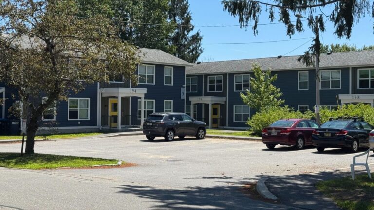
“We’ve still got communities in York and Cumberland counties that have maps that go back to the ‘80s,” said Baker.
Congress created the National Flood Insurance Program in 1968 with the aim of protecting private property owners after insurers began pulling out of what had become a risky market. Under the program, FEMA is required to subsidize premiums, but chronic underfunding from Congress has left the program $25 billion in debt. Previous attempts to increase funding through higher premiums failed after intense pushback from lawmakers and property owners, and it’s unlikely there will be any major changes to funding during this reauthorization cycle.
The Maine Climate Council has recommended that the state manage for 1.5 feet of relative sea level rise by 2050 and 4 feet by 2100, and projects that nuisance flooding (like the sunny day inundation of Commercial Street) will become 10 times more frequent with just a foot of sea level rise.
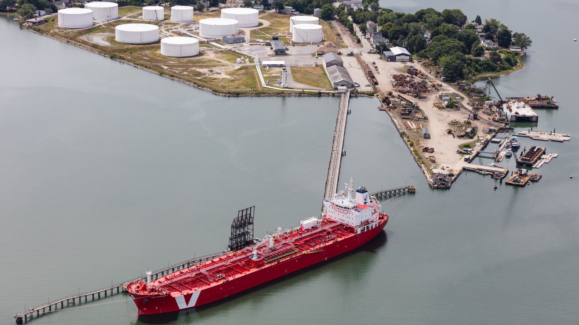
Even without accounting for climate change and rising seas, however, FEMA’s map updates often draw pushback from property owners and officials, who chafe against expanded flood zones that mean higher insurance rates and losses in property value and tax revenue.
When FEMA came to redraw the maps for Portland several years ago, said Colgan, property owners and officials “went ballistic because of all the properties that were going to be included in the flood zone. And they went out and hired a bunch of engineers to come in and say no, no, you got it all wrong — these properties aren’t really in the flood zone.”
Portlanders weren’t the only ones to challenge the new maps. Communities up and down the coast appealed, including Cape Elizabeth, South Portland, Harpswell, Kittery, Wells, Kennebunkport, Stonington and Old Orchard Beach.
Some took issue with the Agency’s methodology, saying it wasn’t applied consistently across towns. Others felt that the base flood elevation (the level that water might reach in a 100-year flood), which in some areas was set to increase by more than five feet, was inaccurate. In some spots, the new floodplain included properties shielded by islands or towering on cliffs, which local residents said made little sense.
The appeals have turned out differently for different communities, said Baker, with some being ruled in favor of FEMA and others in favor of the towns. But the appeals were familiar: all over the country, said Colgan, “People work hard to get the buildings out of the FEMA flood zone so they don’t have to buy flood insurance, which is an extra expense.”
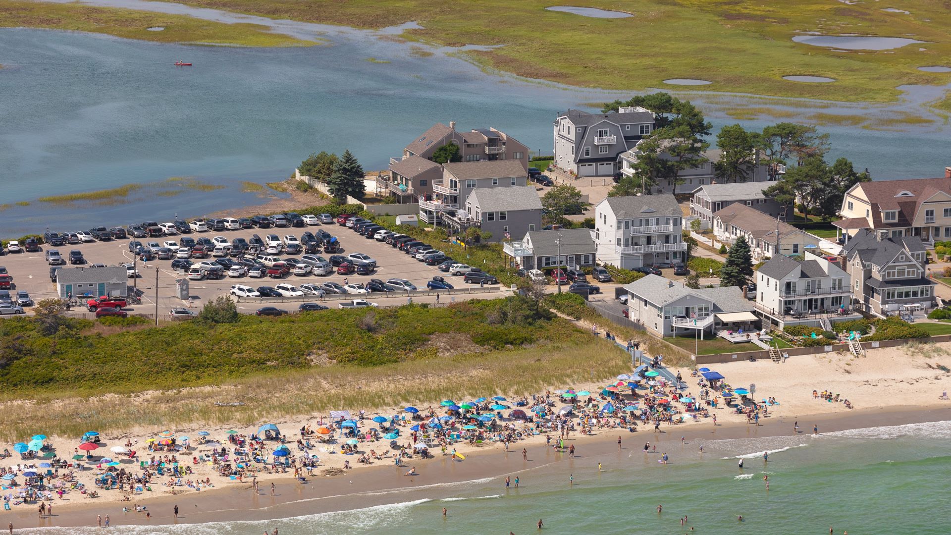
Flood insurance is required only for homes with federally-backed mortgages that are in high risk zones. Typical home insurance policies don’t cover flooding, even though, in places that are considered high risk, the likelihood of damage from a flood is far greater than that of a fire. In areas at high risk for flooding, there’s a 26% chance that a 100-year flood will happen sometime during the life of a 30-year mortgage, compared to a 1-2% chance that the house will catch fire, according to a 2015 presentation by FEMA.
Fewer than 1% of homes in Maine carried flood insurance as of October 2021, according to a Monitor analysis of numbers provided by FEMA. That’s far fewer than is likely necessary — a recent analysis by First Street Foundation, a nonprofit tech company, found that 26,000 additional properties in Maine are at substantial risk of flooding over the next three decades that are not included in FEMA maps.
“The insured value of the real estate subject to flooding from sea level rise is far less than is going to be needed,” said Colgan.
Most of the flood insurance claims in Maine have come from communities along the southern coast. Residents in Wells, Saco and Kennebunk have claimed the most losses since the program began in 1978, with payouts totaling nearly $10.5 million for the three communities. The riverside towns of Fort Kent and Augusta have also received payouts for losses of nearly $5 million combined.
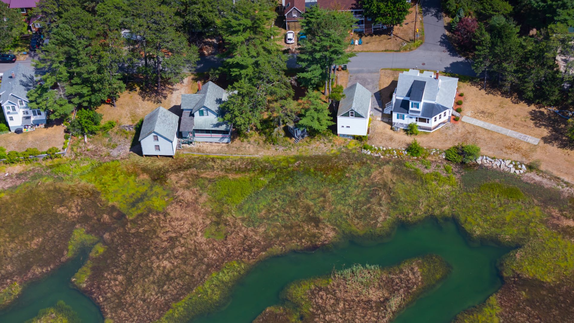
Yet some communities have sought to incorporate sea level rise and climate change into their floodplain ordinances even as they appealed FEMA’s proposed new maps. Kittery, for instance, is in the midst of updating its floodplain ordinances to incorporate sea level rise while simultaneously challenging the new FEMA maps.
On its face, that does seem “somewhat inconsistent with wanting to then incorporate sea level rise considerations,” said Abbie Sherwin, senior planner and Coastal Resilience Coordinator with the Southern Maine Planning and Development Coalition, who has worked with several towns, including Kittery, to develop ordinance language that plans for sea level rise.
Portland also appealed FEMA’s preliminary maps while simultaneously developing new zoning that would allow developers to build taller buildings in flood-prone areas if they prove the height is to prepare for sea level rise and storm surge.
On the one hand, communities need to keep costs down and lower the burden for residents, said Sherwin. “On the other hand a lot of these communities want to be proactive in addressing climate hazards that they know are coming. I think that’s more about being proactive and making sure new and redevelopment isn’t being placed in areas where it shouldn’t be to minimize flood exposure and risk to people and property. They’re related but it’s sort of two separate issues.”
Baker, of the National Flood Insurance Program, said she expects the appeals to be wrapped up and the maps finalized by spring of 2023, in some cases more than a decade after the process began. “It’s a long, sordid story.”
Kate Cough covers the environment for The Maine Monitor. Reach her with story ideas by email: gro.r1754690313otino1754690313menia1754690313meht@1754690313etak1754690313.


