



MACHIAS — Concerns over sea level rise and a preference for an in-kind replacement of the Machias Dike Bridge drove public comment last month at the first meeting of the federal environmental impact statement process.
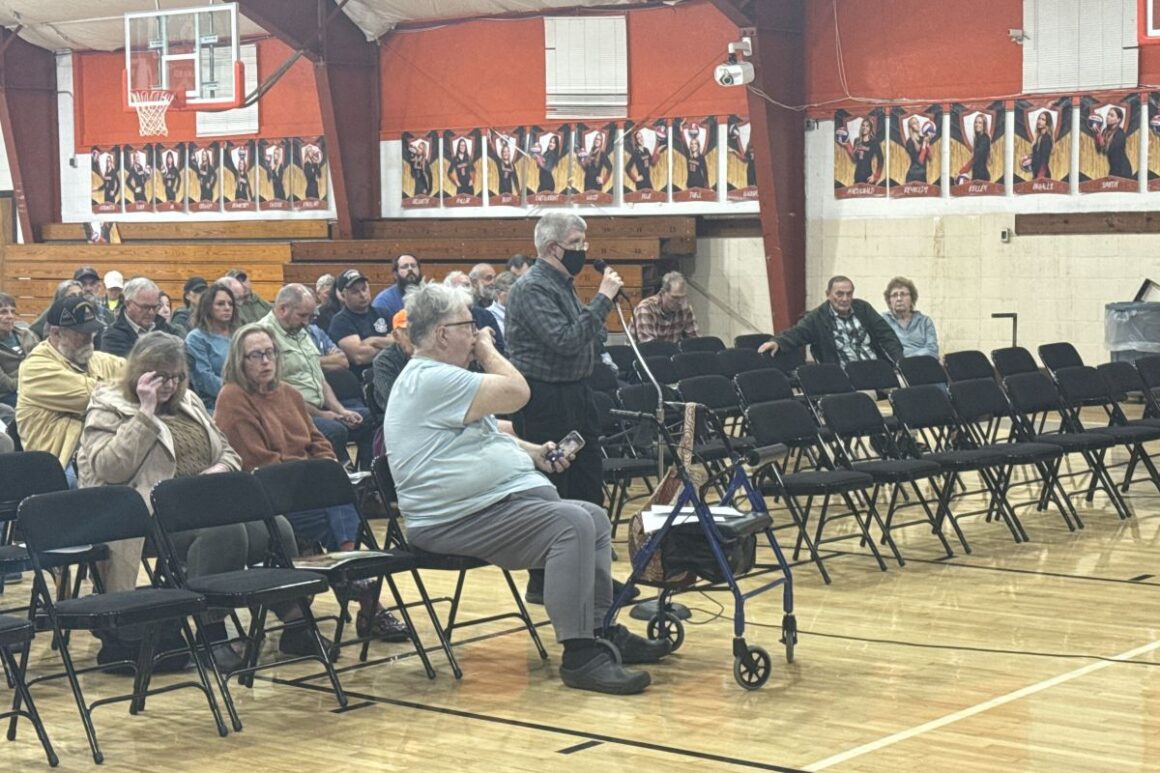
About 50 residents packed the Machias Memorial High School gymnasium Sept. 30 as Maine Department of Transportation officials launched the federally required review of the long-debated project.
“I understand some people might feel some fatigue, but please reiterate anything you want to say,” Ian Gorecki, MaineDOT’s project planning manager, said.
Hannah Rice, a Marshfield resident who chairs the Upper Machias Bay Master Plan Leadership Committee, said she first attended Machias Dike meetings as a 10-year-old child with her parents, Chris and Lauren Sprague.
“Now I’m 30, and I have an 18-month-old,” Rice said.
“The overwhelming majority of the group felt that replacement in-kind was the best for our community across the board,” Rice said of the committee’s recommendation. “We’re more fatigued than when we started the process.”
Rice said downtown Machias’ drainage system is “in really bad shape” and heavily contributed to downtown flooding in 2023 and 2024. She noted that crews built the original dike higher than the structure standing today.

Other residents voiced concern about the dike’s height as climate change drives continued sea level rise.
Kim Nunlist of East Machias cited a 2025 study showing that alternatives to an in-kind replacement would do little to prevent flooding under 1.9 feet and 3.9 feet of sea level rise — figures that align with MaineDOT’s recommendation, she said.
Maine’s climate guidance directs state agencies to “commit to manage” 1.5 feet of relative sea level rise by 2050 and 3.9 feet by 2100, while preparing to manage 3 feet by 2050 and 8.8 feet by 2100.
“I’m not yet convinced that there’s no connection between downtown flooding and sea level rise,” Nunlist said, urging officials to analyze the entire Upper Machias Bay and model up to 3.9 feet of sea level rise.
Anson Bergonzi, an East Machias native, asked officials what the public comment process targets and what information residents should share.
“I don’t think there’s anything that’s not valid to share,” Gorecki said.
“The dike has been the way that it is for over 100 years,” Bergonzi said. “To change that, I don’t think that would be beneficial.”
Bergonzi urged officials to replace the dike in-kind, keeping the trail and all existing uses intact while raising the structure several feet to withstand storms and rising seas.
“I didn’t see, on my basic perusal of this, anything mentioning the replacement in-kind also including an elevation rising on that. That is something that I think is necessary,” Bergonzi said. “The dike is a very important part of our community.
“It’s an important part of the way that life is here in Downeast Maine. To replace it with anything less than what is there now would be a great disservice to the community.”
Officials said an in-kind replacement would likely feature fully gated culverts rather than timber culverts. They noted that future analysis will determine whether workers must raise the structure.
Under the review process, MaineDOT plans to establish the project’s purpose and need while evaluating more than 20 alternatives.
Officials target spring 2027 for a draft environmental impact statement, followed by public comments in summer 2027 and a final decision in late 2027. The interim bridge installed in April is not the final solution, officials said.
Workers completed the causeway in 1868, two years after the Maine Legislature authorized the town of Machias to build a dike across the Middle River to replace an 1835 private toll bridge. Crews enlarged the structure for the Washington County Railroad in the 1890s, built the current upstream structure in 1930 and widened it in 1944.
The causeway stretches more than 1,000 feet, carrying U.S. Route 1, utility lines and the Down East Sunrise Trail. Timber-and-stone box culverts allow water to pass through the structure. Each culvert features a top-hinged flap gate, or “clapper,” that releases river water while blocking incoming tides. In effect, the road sits on top of a dam.
In March, the Upper Machias Bay Master Plan Leadership Committee voted 18-5, with one abstention, to recommend an in-kind replacement.
Marshfield Fire Chief Daniel Bowker said mixing saltwater from the bay with freshwater from the Middle River would destroy Marshfield’s primary firefighting water source.
“If you salt that up, that’s the only water source we have taken away from us,” Bowker said, adding that the move would compromise public safety on the ridge.
He urged officials to consider the man-hours residents have invested over 17 years of studies.
“It always goes back to replacing it in kind,” Bowker said, drawing applause.
Machias Planning Board Chair Harry Flower said an in-kind replacement carries no environmental cost because the surrounding conditions remain unchanged.
“If you do anything else, you really have an environmental impact,” Flower said, drawing applause.
Jim Lenke, a Machias Memorial High School science teacher, said his primary concern centers on the new structure’s materials — and how workers would attach floodgate brackets to the bridge frame.
“I feel like that is a lynchpin of the whole process,” Lenke said.
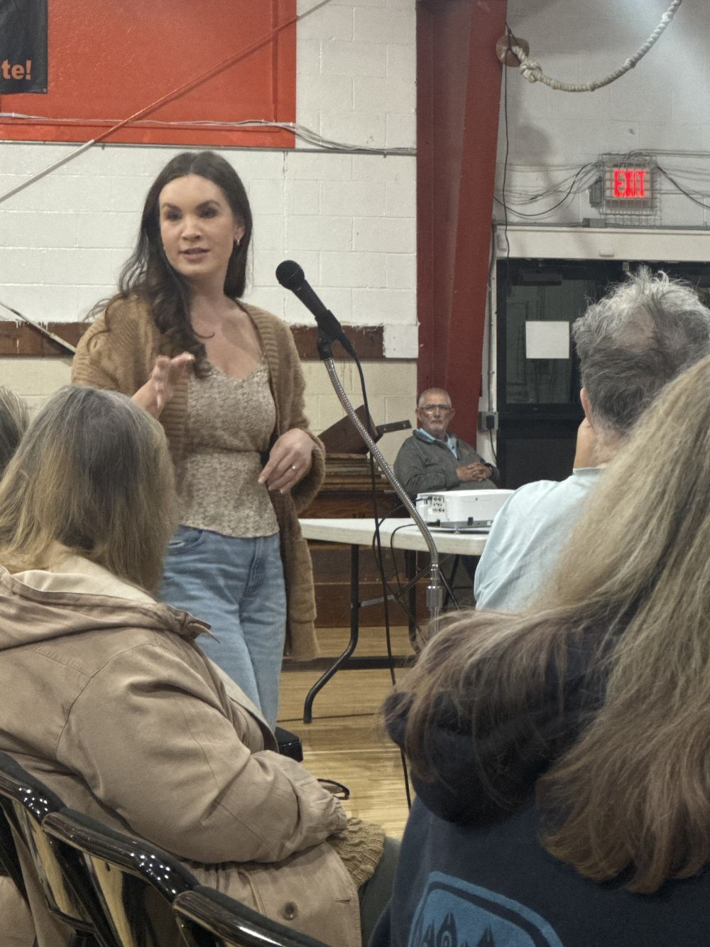
He described experiments he and his students conducted showing restored plant life along the banks of the Middle River. Lenke said the temporary bridge might be helping the plants by reducing the amount of saltwater reaching them. A freshwater marsh already exists there, he noted, and both marsh types capture carbon.
“It’s going to be hard to turn right back into a salt marsh,” Lenke said. “It’s not cut and dry.”
Residents who missed the in-person meeting can still submit feedback through an on-demand virtual public meeting, available at any time through Oct. 31 at mainedot.info/machias-dike.
The online presentation walks visitors through the project’s purpose and history, offering a 29-slide deck from the public meeting, informational handouts and a chart detailing every alternative under consideration. It also features maps, photographs of the crossing and a video explaining the right of way process and property owner impacts.
Comments submitted through the website will become part of the official EIS record. Once the public comment window closes, visitors can read the collected feedback alongside state responses. MaineDOT plans to host another round of virtual and in-person public meetings in spring 2027.
The public must submit comments by Oct. 31 through the project website or by email to [Show Email].